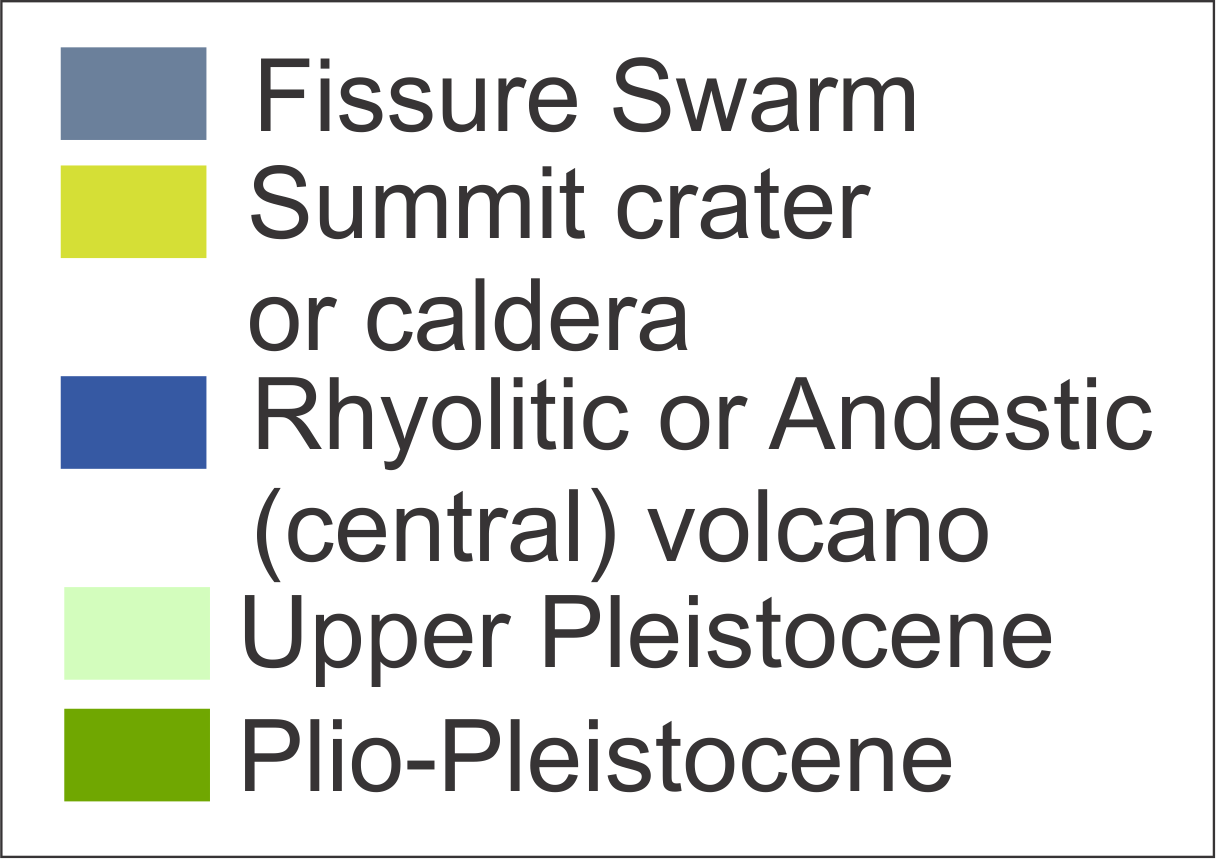
Krafla is an exceptional place for many reasons... The following video will introduce you to the Krafla volcano, the Krafla geothermal features and a bit of the history of volcanic eruptions at Krafla. Once you've finished the video, you can attempt the first exercise below. Once you get it right, you will be able to continue on your journey!
Use the information that you learnt from the previous video to locate Krafla on the map. You might find that the volcanics and tectonics maps might be useful to locate yourself, just click on the buttons to activate them. You can also make Google maps fullscreen by clicking the button in the top right corner. There is a transparency slider in the bottom left. If the legend gets in the way, just click on it and it should disappear! You can always make it come back by clicking the 'Show legend' button.
On the northwest side of the Krafla caldera is Víti an explosion crater, which is 300 metres in diameter. The name Víti, meaning Hell (in Icelandic), comes from the old belief that hell was located under volcanoes, so the Krafla Caldera is “Hell on Earth”.
Dimmuborgir, or the Black Fortress, is a dramatic expanse of lava in the Lake Mývatn area. Somewhere hidden inside Dimmuborgir you might stumble upon Jólasveinahellirinn - the Cave of the Yule Lads! The Icelandic Yule lads are 13 very ill-mannered and inquisitive trolls. They are the sons of the two terrible trolls, Grýla and Leppalúði! On the thirteen nights before Christmas, these trolls come to terrorise the Icelandic people, each with their own strategy after which they were named. Listen to Ben’s videos to find out more about these trolls.
Krafla is an amazing place where you can find a range of volcanic features, from some of the smallest to some of the largest that we know of!
360 Video!
This section is about describing obsidian and rhyolite outcrops. You can watch the video, then keep scrolling and give the next exercise a try.
Make observations of structural features to inform the orientation of the rhyolite (main rock type in image). Note the relationship with the weathered basaltic country rock in the bottom right corner of the image. You can look at the outcrop in 3 dimensions if you wish, by clicking on the checkbox below the image. Left click on the map to travel around, right-click tilts the view.
This outcrop is Hrafntinnuhryggur, an outcrop of Obsidian material. Use the 'Enable 3d content' to see the outcrop in 3D! Describe the columnar jointed lava. Once you've filled in something for each value, you'll get to continue on your journey! If you are not sure which one this is- then go check out this figure from Tuffen & Castro 2009.Scale is on bottom right.
What additional observations might be important in working out how this outcrop formed?
This section is about describing obsidian and hyaloclastite rocks, both found at Hrafntinnurhyggur. You can watch the video, then keep scrolling and give the next exercise a try.
Make observations on the lustre, fracture, crystals, and flow bands of this rock. This will inform you about the cooling and emplacement of the outcrop it was sourced from. This rock was taken from the jointed outcrop you just described.
The rock below was taken from the orange/tan outcrop , a little below the jointed outcrop you described earlier.